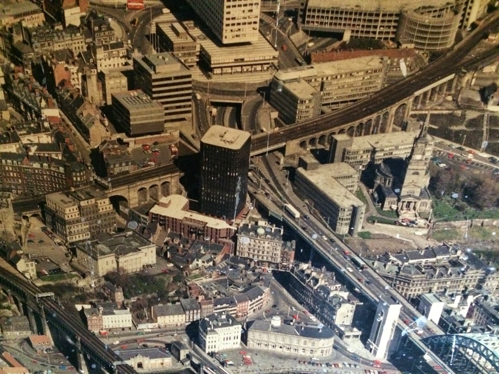
A few years ago, I salvaged this 5' x 4' wooden photo panel from the rubbish in the basement at work. It had been dumped during a refurbishment of a vacated office in our building. Although the photo is scratched in parts and has flecks if plaster on it, I thought it was too good to throw away, especially since the photo aerial shot of Newcastle was taken some years ago.
I have tried to work out when the photo was taken by looking at what was and wasn't built and have come up with an approximate year, but I can't determine the exact date. Can anyone help?
Below, I have zoomed in on sections of this picture, in a rough grid pattern moving top to bottom, left to right.
From the top right of picture, here is the Town Moor, Exhibition Park, RVI, University, down to Percy Street and Eldon Square.
Percy Street / Old Eldon Square down to Bigg Market and Westgate Road, opposite Central Station
Exhinition Park to Haymarket
Haymarket to Pilgrim Street - Dobson Street car park seems to be missing, I wonder when that was built.
The River Tyne
West Jesmond down to about John Dobson Street
Jesmond and Shieldfield to Mea House, Central Motorway and Panden Building
Jesmond to Shieldfield
Shieldfield to Melbourne Street
New Bridge Street to Panden Bank and Quayside


No comments:
Post a Comment